| AMS 100: Introduction to American Culture and Identity |
|
| Yosemite National Park |
 |
Introduction:
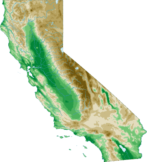
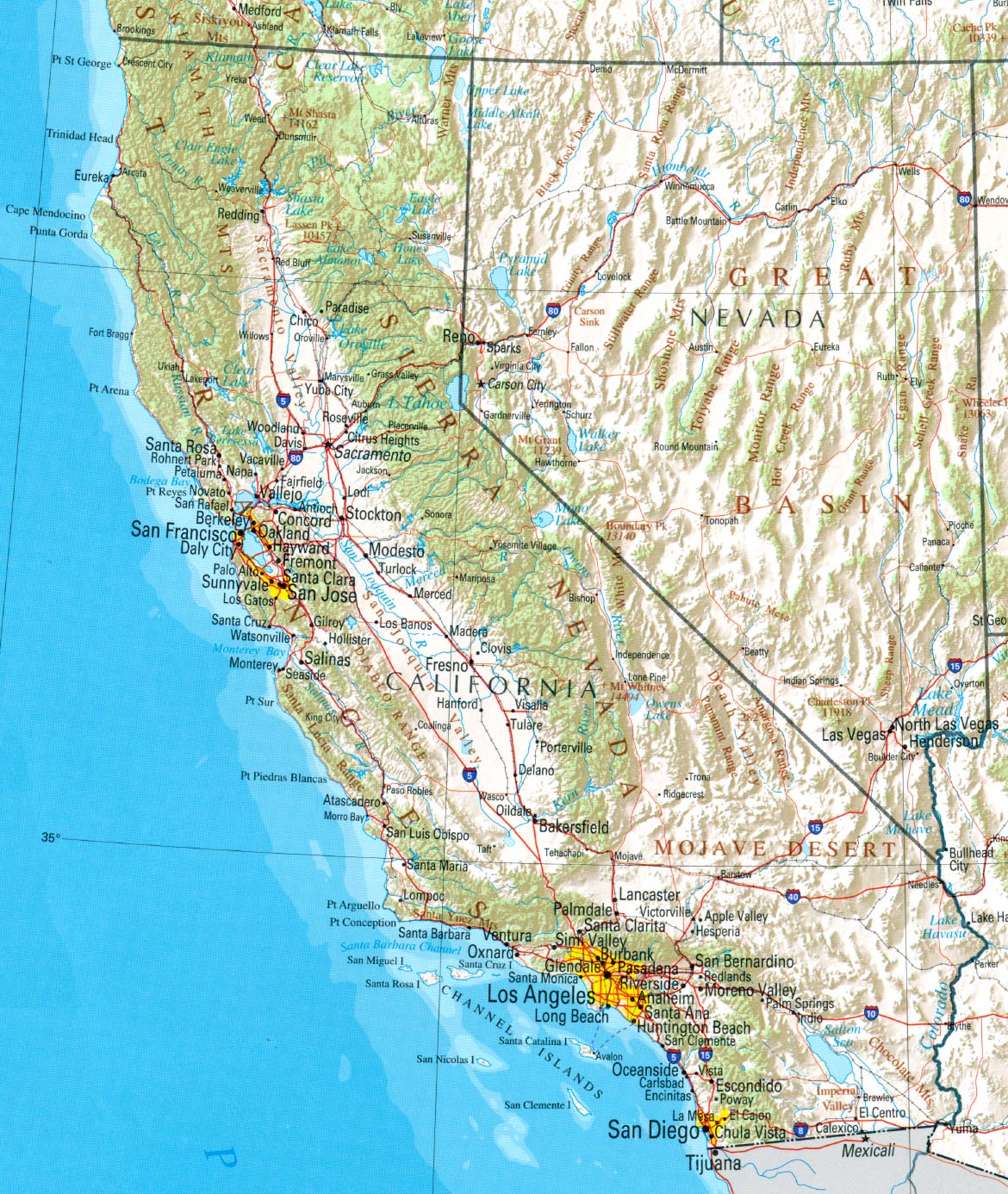
Yosemite National Park is located in the middle of California's Sierra Nevada (Spanish: Snowy Mountains) Mountains and is dominated by the Yosemite Valley that is the upper aspect of the Merced River coming from Lake Tenaya. A second valley Hetch Hetchy Valley, the upper aspect of the Tuolumne River coming from Tuolumne Meadows, has been damned up and is seldom seen by the public.
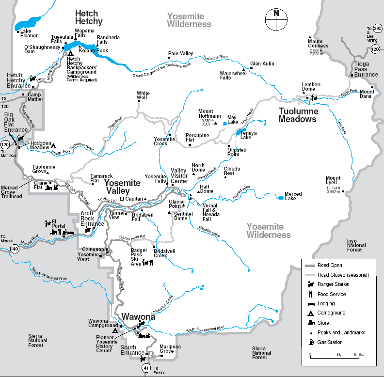 |
 Sierra
Nevada Mts. from satellite Sierra
Nevada Mts. from satellite
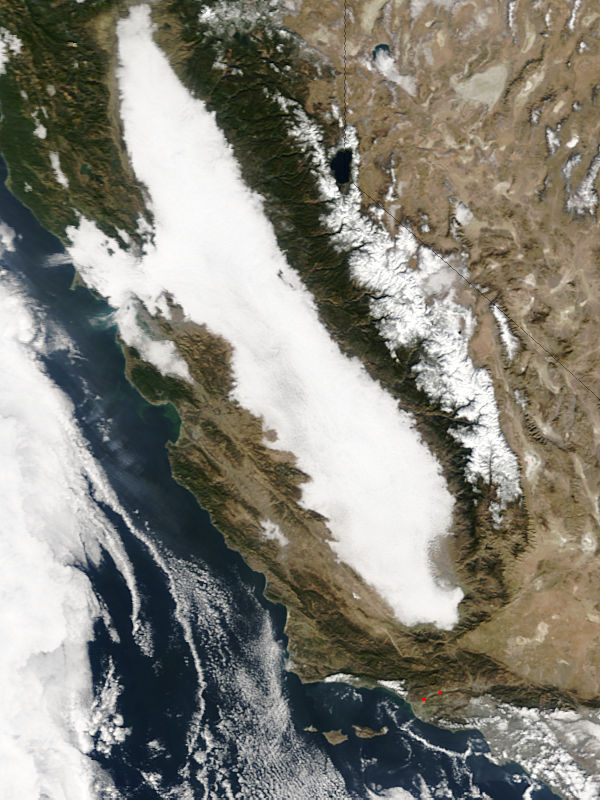
 Sierra Nevada Mts.from East
 |
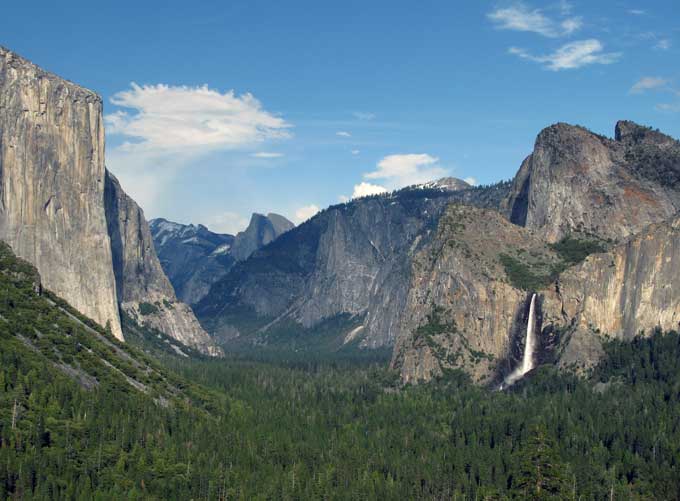 Yosemite
Valley (tunnel view) Yosemite
Valley (tunnel view) |
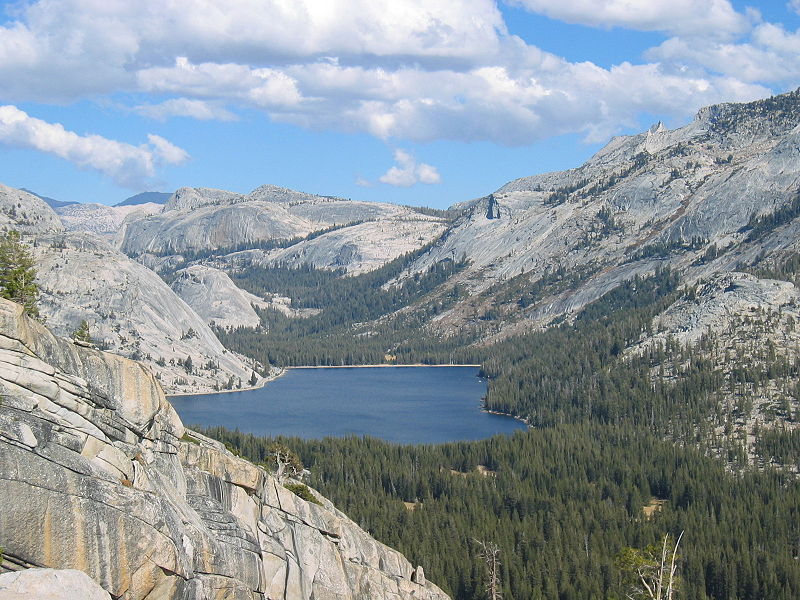 Lake
Tenaya Lake
Tenaya |
|
|
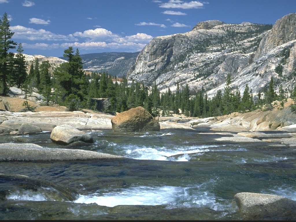 Tuolumne
Falls Tuolumne
Falls |
Currently, Yosemite Valley and Hetch Hetchy Valley are part of Yosemite National
Park and are surrounded by National Forest Service land.

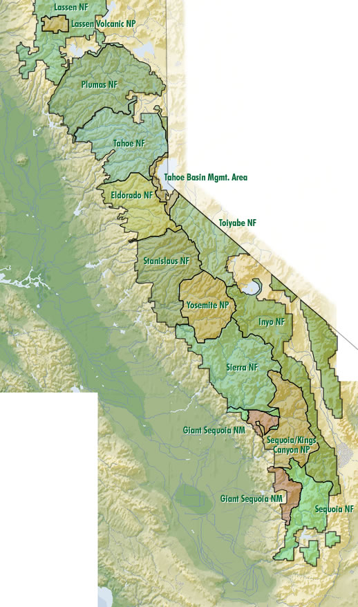 These public/federal lands are supposed to protect the national parks, but in
recent years air pollution and global climate changes have over ridden the
original buffer for the national parks. A quick summary of the sequence of
events can be found in the Yosemite Timeline.
These public/federal lands are supposed to protect the national parks, but in
recent years air pollution and global climate changes have over ridden the
original buffer for the national parks. A quick summary of the sequence of
events can be found in the Yosemite Timeline.
Geology:
The spectacular mountain scenery of the Yosemite area is derived from various forces of mountain formation and erosion. Geologists from 1865 have theorized a combination of fault events and glacial action as primary factors. John Muir observed that it must have been all glacial action. In 1930 Francois Matthes postulated that water erosion was responsible for gouginging out the valleys and that glacial action widen them. More recently, J. Schaffer sees joint planes producing a greater impact.
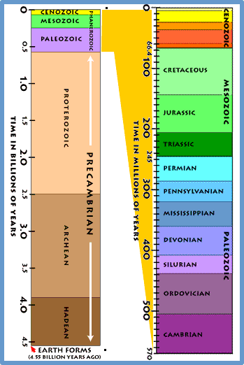
Initial geological action began with 200 million years ago with the 'Ancient Sierra Range' being formed with volcanic activity, and subduction action with the movement of the North American Plate